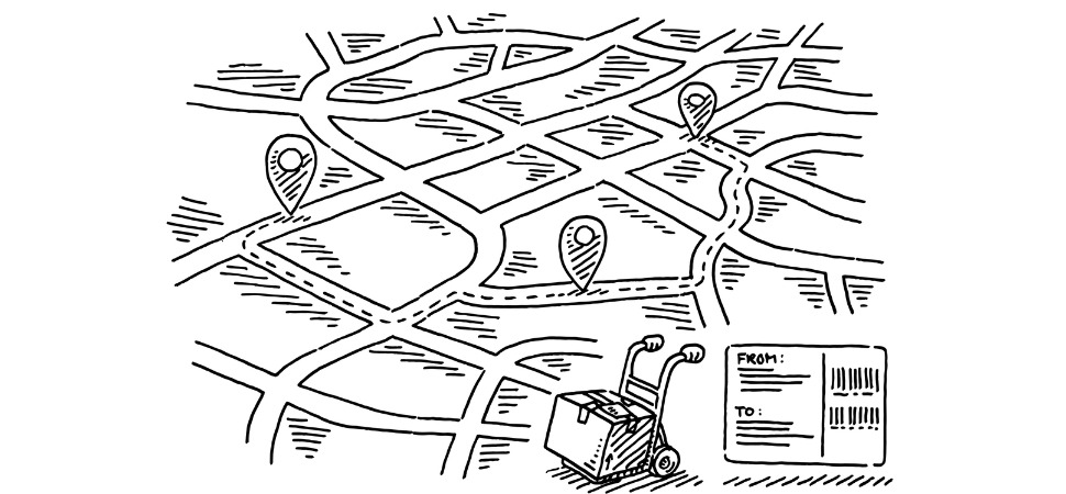
Digital devices are generating more and more location data — details about places and about people in places — and users are benefitting. They may use a mobile map and find it liberating being untethered to paper, able to travel more confidently. But most don’t realize they are also being tracked by their device and, by proxy, by organizations they have never heard of. They certainly don’t realize that, until now, no one was thinking too much about the ethical use of location data in local services.
It’s this dichotomy that every public and private organization should be thinking about as they look at using location data to create services and offerings for end users. It is especially significant for the public sector since constituents often assume that their data is automatically protected by those they elect to serve them.
Private Mapping, Public Service
The growth of mapping serves a number of purposes, with diverse costs and benefits. It affects spaces includings buildings, streets, and cities on a national and international scale. Data and maps are captured and accessible by any entity — public or private.
The recent and growing availability of this data has huge potential to improve public services, especially local public services. But, just as when data is used to manage any other service, new risks arise. These include concerns related to privacy, equality (because of how different groups are represented –or not — in data), transparency, and accountability.
It should be clear that with power comes responsibility. As such, it is important that the new powers created by this vast increase in location data are used ethically and in ways that respect and protect people’s rights and interests. Until recently, there was no governing body or agreed upon set of rules to make sure this actually happened.
This March that changed. The Benchmark Initiative along with the American Geographical Society’s EthicalGeo program launched The Lotus Charter, a partnership designed to collaborate on a new global charter to guide the responsible use of location data. The Charter is intended to help all users of location data, but it is particularly relevant to local public services, cities, and governments. The group immediately proposed a set of common international ethical principles to help users of location data to make informed and responsible decisions.
Building Off Established Mores, Policies
Most people who deliver local public services have strong ethical commitments to serving individuals and the public collectively. They want to use the most effective geospatial data and applications, while keeping to their ethical commitments.
Local services use location data for essential functions, including planning what gets built and how public spaces and resources are used, and in making decisions on transport. More data –and more granular data– can now make for greater efficiency and better targeting for needs. It can also increase the risks of undue intrusions into privacy and human dignity, and the risks of misrepresentation and inequity.
We hope that the Locus Charter will give users of location data good questions to ask about where there may be risks in what they want to do. We also hope it will help reduce the potential for unintended harm to anyone, and support them in gaining the full benefits of location data applications for the communities they serve. Fortunately, a lot of work has been done on data ethics in other fields, including in public services. It is possible to learn from that work, and adapt it to the particular risks and solutions around location data applications.
The Locus Charter proposes that wider, shared understanding of risks and solutions relating to uses of location data can improve standards of practice, and help protect individuals and the public interest. We hope the Charter can improve understanding of risk, so those can be managed, and the many benefits of geospatial technologies can be realized for individuals and societies. They include understanding the impact of data, the commitment to do no harm and protect the vulnerable. This is important because, as any public interest technologist knows, vulnerable people and places can be disproportionately harmed by the misuse of location data and that those people and places may lack the capacity to protect themselves.
The Charter also asks everyone working with location data to address inherent bias in the collection, use, and combination of location datasets, which can either remove affected groups from mapping that conveys rights or services or amplify negative impacts of inclusion in a dataset. Practitioners must take care to understand bias in the datasets and avoid discriminatory outcomes. Also important: Protecting privacy and preventing the identification of individuals, and providing accountability. It’s crucial that people who are represented in location data that’s collected, combined, and used by organizations should be able to find out how it is collected and used in relation to them and their interests, and be able to appeal or halt uses proportionate to levels of detail and potential for harm.
Getting Involved at the Local Level
All of these goals are moving targets. They are simply proposed principles for users of data to try out, respond to, and improve upon. The potential uses of data are going to keep developing. In the near future, we can probably expect that more detailed, street level location-enabled data will be used for more local economic planning. There is also promising work going on to use very local data to reduce exposure to environmental risks like poor air quality.
City governments are also looking to see what more can be done for the public interest with data about their cities that is held by other organizations. For example, today, when a city negotiates with Uber or other transport companies, access to those entities’ datasets is often a part of the negotiations. Vast quantities of data about cities are held in different companies. In the future, we may see city governments acting more to employ that data in the interests of citizens and using mechanisms like data trusts to manage the balance of commercial and public interests.
In any case, the potential of location data for good – and for harm – is likely only to increase. We hope that people, especially public interest technologists, working in city governments and other local services will find the Charter Principles useful for checking over their own practices, and, over time, for showing citizens how location data about them is being used in their interests — and not against them. We also hope it leads to the ethical use of location data.
You can read more about the Charter’s aims here. We also welcome everyone to join the community to use the charter and continue its development.
Ben Hawes is the Engagement Director at Benchmark Initiative. The Initiative, based in the United Kingdom, was launched by Omidyar Network and Ordnance Survey to deliver a series of public thought leadership events and an entrepreneur program to address and resolve challenges around using location data. In parallel with Benchmark, the American Geographical Society (also in partnership with Omidyar Network) launched the EthicalGEO Initiative, USA, which has supported research fellows investigating issues at the intersection of ethics and geospatial sciences.